

Liechtenstein might be one of the smallest countries in the world, but hiking across its mountains is a much bigger adventure than I expected.
The Liechtenstein Panorama Trail, also known as Route 66, takes you high above the Rhine Valley, through forests, mountain pastures and rocky ridges. Along the way, there are ladders to climb, fixed ropes to hold and some exposed sections that are definitely not designed for a relaxing Sunday stroll.
I hiked from Planken in the north to Malbun in the south over four days. It was my first multi-day hike and, perhaps more importantly, my first time hiking alone.
Before this trip, I had travelled solo many times. Hiking alone in the Alps, carrying everything I needed and sometimes walking for hours without seeing another person, felt completely different.
There was rain, thick fog and even snow, despite the fact that I did the hike in July. I also changed part of my route because of the weather. But there were peaceful evenings in mountain huts, unexpected encounters with Highland cows and moments when the clouds cleared just long enough to reveal the views around me. You should definitely watch my whole video on YouTube.
In this guide, I am sharing the route I followed, where I stayed, what I packed and the lessons I learned along the way.
This post contains affiliate links, and if you click one, I may receive a small commission at no extra cost to you.
Liechtenstein Panorama Trail at a glance
The Liechtenstein Panorama Trail is marked as Route 66 and is normally completed over three or four days. The official three-stage hut tour covers around 30 kilometres, but longer versions are possible depending on where you start, the routes you choose and whether you include additional sections or summits.
Route: Planken to Malbun.
My duration: Four days.
Difficulty: Moderate to difficult.
Highest point on the standard route: Augstenberg at approximately 2,359 metres.
Accommodation: Mountain huts and a hotel
Waymarking: Route 66 signs and white-red-white mountain trail markings.
Transport: Public buses.
Currency: Swiss francs
Although the trail is well marked, this is still an Alpine mountain hike. The section around Drei Schwestern and Fürstensteig includes secured rocky paths and is recommended for hikers who are sure-footed and comfortable with exposed terrain.
Is the Liechtenstein Panorama Trail the same as Route 66?
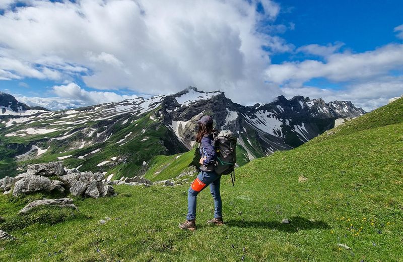
Yes. The Liechtenstein Panorama Trail is signposted as Route 66. Of course, it has nothing to do with the famous road trip route in the United States. This Route 66 is a high-altitude hiking trail through the Liechtenstein Alps.
It is also easy to confuse it with the Liechtenstein Trail, which is a different, lower-level route connecting the country’s towns, villages and cultural attractions.
The Panorama Trail is the mountain route. It involves more climbing, more remote terrain and some technically challenging sections.
Why I started the hike in Planken
The trail can be hiked in either direction, but I chose to begin in Planken and finish in Malbun.
This direction gave me a relatively short first day, which was useful because I needed time to adjust to carrying my backpack and being alone.
It also meant that I climbed the ladders and secured sections around Drei Schwestern instead of descending them. Personally, I found climbing these sections more manageable, particularly with a heavy backpack.
I stayed at Hotel Vaduzerhof in Vaduz before beginning the hike. It was in a convenient central location for reaching the bus stops and exploring Vaduz.
More importantly, the hotel had lockers where I could leave my suitcase during the hike. This made a big difference because I only needed to carry what I required for four days in the mountains.
I returned to the same hotel after finishing the hike, collected my suitcase and stayed another night.
Getting to the start of the Liechtenstein Panorama Trail
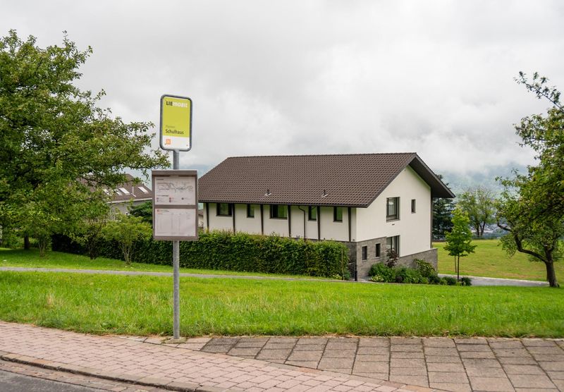
I travelled from Vaduz to Planken using public transport. I first took a bus towards Schaan and then changed to the bus for Planken. The connections were simple, and the buses ran on time.
Liechtenstein is easy to explore without a car. LIEmobil currently operates Line 26 between Schaan and Planken and Line 21 between Vaduz and Malbun, although you should always check the timetable shortly before travelling.
Using buses also made my four-day itinerary more flexible. I could leave the trail at the end of a difficult stage, travel to my accommodation and return to the same area the next morning.
How I navigated the Liechtenstein Panorama Trail
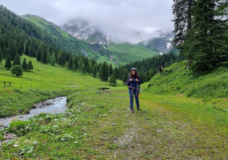
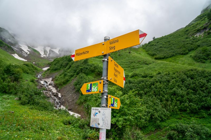
The trail is generally well marked, and I followed the Route 66 signs and the white-red-white trail markings along the way.
I also used AllTrails during the hike. I downloaded the route in advance so I could check my position when the path was less obvious, especially in fog or when the trail markings were harder to see.
I would definitely recommend downloading your route for offline use before starting. Even on a well-marked trail, weather can change quickly in the mountains, and there were a few moments when having the map on my phone gave me extra reassurance that I was still heading in the right direction.
I still would not rely only on an app. Pay attention to the trail signs and markings as well, and always check the latest trail conditions before setting off.
Staying connected in Liechtenstein
For this trip, you can also use an Airalo eSIM to stay connected while travelling around Liechtenstein. There are options for shorter trips of around five days as well as week-long stays, so you can choose the plan that best matches your itinerary.
Airalo also offers unlimited-data options, but for a hiking trip like this I would probably choose a standard data package instead. You are unlikely to use huge amounts of data while you are up in the mountains, especially if you download your maps and important information in advance. A standard plan should be more than enough for checking bus times, messages, weather forecasts and navigation when you have signal.
My four-day Liechtenstein Panorama Trail itinerary
Day 1: Planken to Gafadurahütte
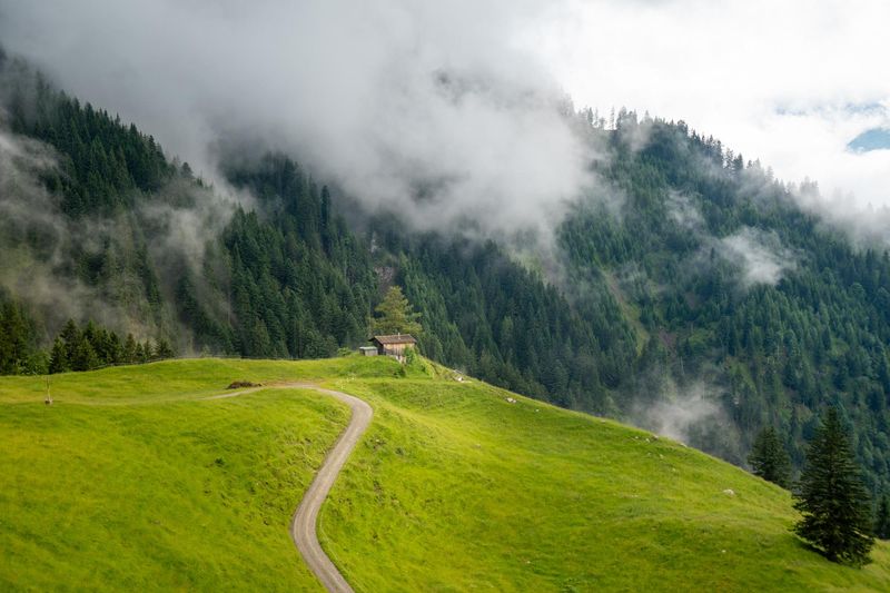
My hike began on a rainy Monday morning in July. The bus dropped me in Planken, a small and peaceful village in the north of Liechtenstein. It was so quiet that I barely saw anyone as I tried to locate the beginning of the trail.
The first part of the walk passed through a residential area before entering the forest. By then, the rain had become heavier.
The trees provided some shelter, but the ground was wet and slippery. As I climbed higher, the forest became foggy and the views disappeared completely. This was the moment when the reality of hiking alone began to sink in.
Since starting the trail, I had not seen a single person. There was no one ahead of me and no one behind me. I could hear bells somewhere in the fog, but I could not see whether they belonged to cows, sheep or goats.
Travelling alone had never bothered me, but hiking alone felt different. When you are in the mountains, you need to pay attention to the weather, the trail and every decision you make.
Fortunately, the first stage was relatively short. It was only around four to five kilometres, although most of it was uphill.
As I got closer to Gafadurahütte, the hut I would spend a night, the clouds finally began to clear. For the first time that day, I could see the valley below and understand how much height I had gained.
I arrived early in the afternoon, checked in and had the rest of the day to relax. After walking alone through the rain, the hut felt incredibly peaceful.
I spent part of the afternoon writing in my journal. At the time, I even wondered whether those notes might become a book one day.
Staying at Gafadurahütte
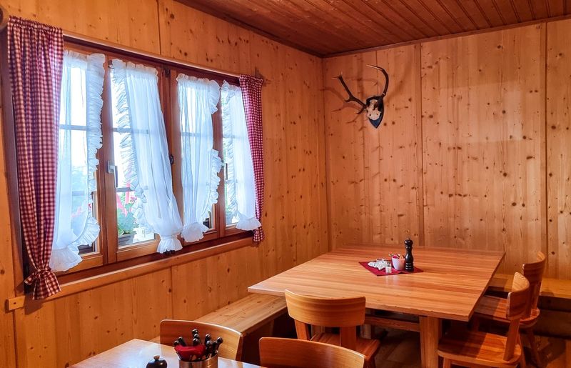
Gafadurahütte was my first experience of sleeping in a mountain hut and also my first night in a dormitory.
The hut was clean and dinner and breakfast were available. My stay, including the meals, cost CHF 83 at the time of my visit. Prices will have changed, so treat that as a personal reference rather than a current quote.
One thing worth knowing is that you cannot book Gafadurahütte online. Overnight reservations need to be made directly by email. When booking, you should also mention whether you want half board, which includes dinner and breakfast, or just accommodation with breakfast.
I would definitely book in advance, particularly if you are hiking at the weekend or during the main summer season. There are only 14 sleeping places at Gafadurahütte, so you don't want to arrive after a long climb and discover there is no bed available.
Sleeping in the dormitory was not as difficult as I had imagined. The main problem was that someone was snoring.
We went to bed at around 9:30 pm. I woke up a couple of hours later and struggled to get back to sleep, partly because of the snoring and partly because I could hear cowbells outside.
My first important mountain-hut lesson was very simple: bring earplugs.
Another useful thing to know is that Gafadurahütte currently accepts cash only, in Swiss francs or euros, so make sure you have enough money with you before heading into the mountains.
Day 2: Gafadurahütte to Steg via Drei Schwestern
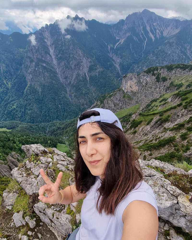
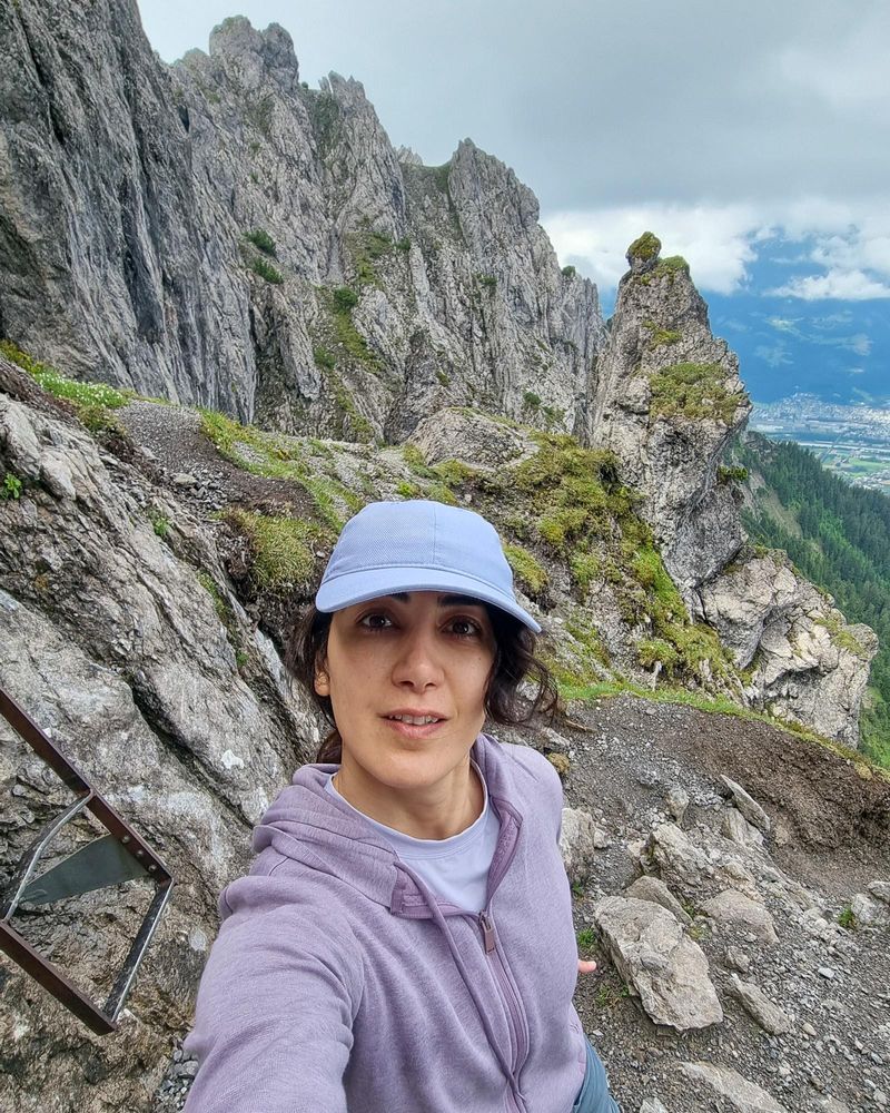
Day two was the most challenging part of my entire hike. I knew it would be a long day, and filming always makes a hike take longer. I also had more water and food in my backpack, so it felt noticeably heavier.
The first part of the route climbed steeply above Gafadurahütte. The weather was cool and refreshing, and for a while, the visibility was good. I deliberately did not rush.
In everyday life, we are always trying to complete one task so that we can move to the next. One reason I wanted to do this hike was to slow down and be present. There was no reason to race to the top. I wanted to stop, look around and actually experience the mountains.
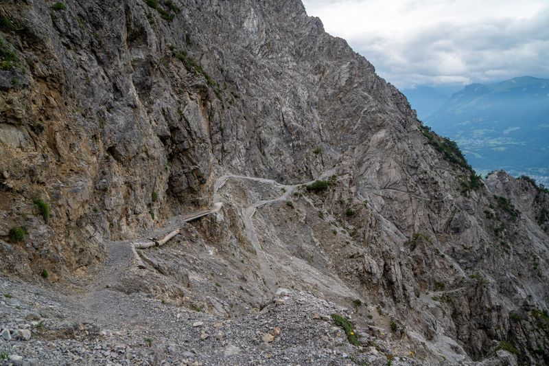
After reaching the first high point, the route became more technical. Some sections were narrow and secured with ropes. There were also ladders and places where I had to use my hands to climb over rocks.
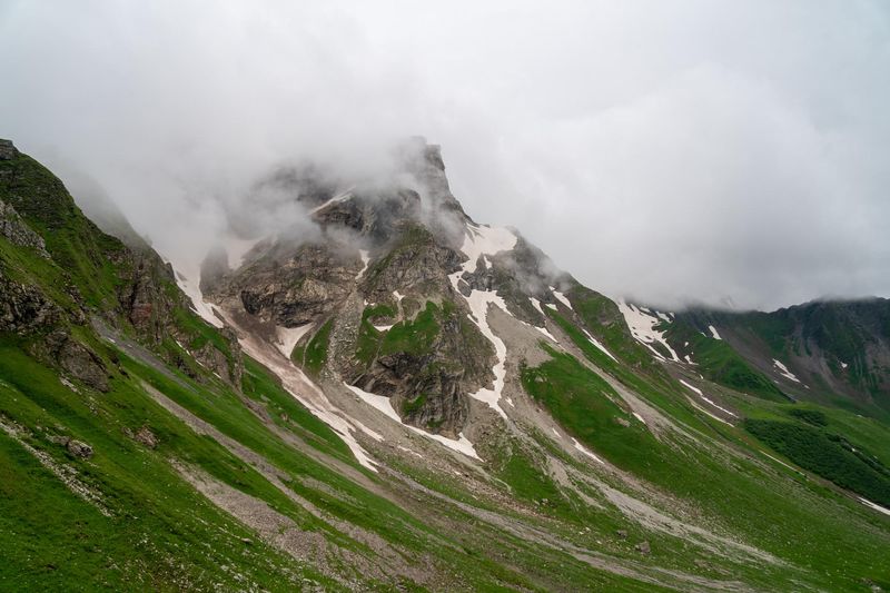
The weather changed constantly. One minute, I could see the surrounding peaks. A few minutes later, I was surrounded by fog. At one point, near a summit, I could no longer identify the trail.
I stopped and sat down for a few minutes rather than continuing in the wrong direction. When the visibility improved slightly, I looked for the painted trail markings and found the route again.
The trail is generally well signposted, but fog can hide the next marker surprisingly quickly.
My biggest packing mistake
I had not brought gloves. During this section, I repeatedly used my hands to hold rocks, ropes and metal ladders. The ladder was extremely cold, and thin gloves would have made climbing much more comfortable.
They would also have protected my hands and helped with grip. Therefore, even during summer, I recommend packing a pair of lightweight hiking or climbing gloves for this route.
Reaching the highest section
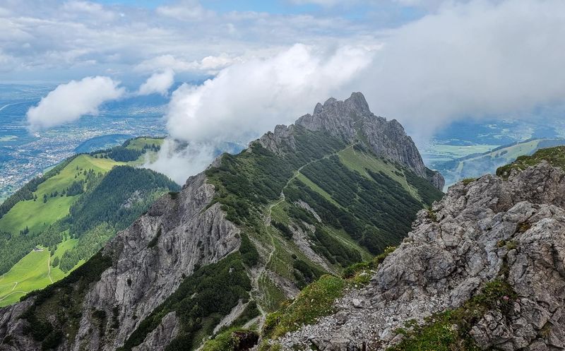
The climbing seemed never-ending. Every time I thought I had reached the highest point, I saw another summit ahead of me.
The ridge views would appear briefly before disappearing into the clouds again. When the fog finally cleared, I could look back at the peaks I had already crossed and see the narrow path continuing along the mountain. It was beautiful, but parts of it were intimidating.
I had seen only a few groups since leaving the hut that morning. For long periods, there was nobody around me.
Because I was alone, I knew I needed to be more cautious than usual. A small mistake on a remote and exposed trail can become a serious problem very quickly.
The official description of the Drei Schwestern and Fürstensteig route also stresses that it is intended for sure-footed mountain hikers.
The final descent was physically and mentally exhausting. My legs were tired, my concentration was lower, and each step required more effort than it had earlier in the day.
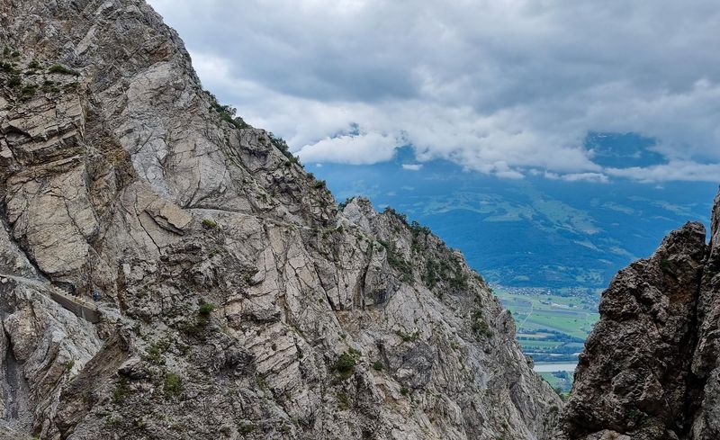
People often assume that descending is the easy part of hiking. In reality, a long and steep descent can be harder on your legs than the climb.
Eventually, I reached the lower part of the trail near Steg. There is no mountain hut to stay in at the end of this stage, so if you are following this itinerary, you will need to leave the trail and stay overnight in Malbun. It is the closest and most practical place to find accommodation.
I took the bus from Steg to Malbun and stayed at Hotel Galina for the night. The following morning, I took the bus back to the same point where I had finished and continued my hike from there, so I didn't miss any part of the route.
After such a long and demanding day in the mountains, having a private room, a hot shower and a proper bed felt wonderful.
Day 3: Steg to Pfälzerhütte using a lower route
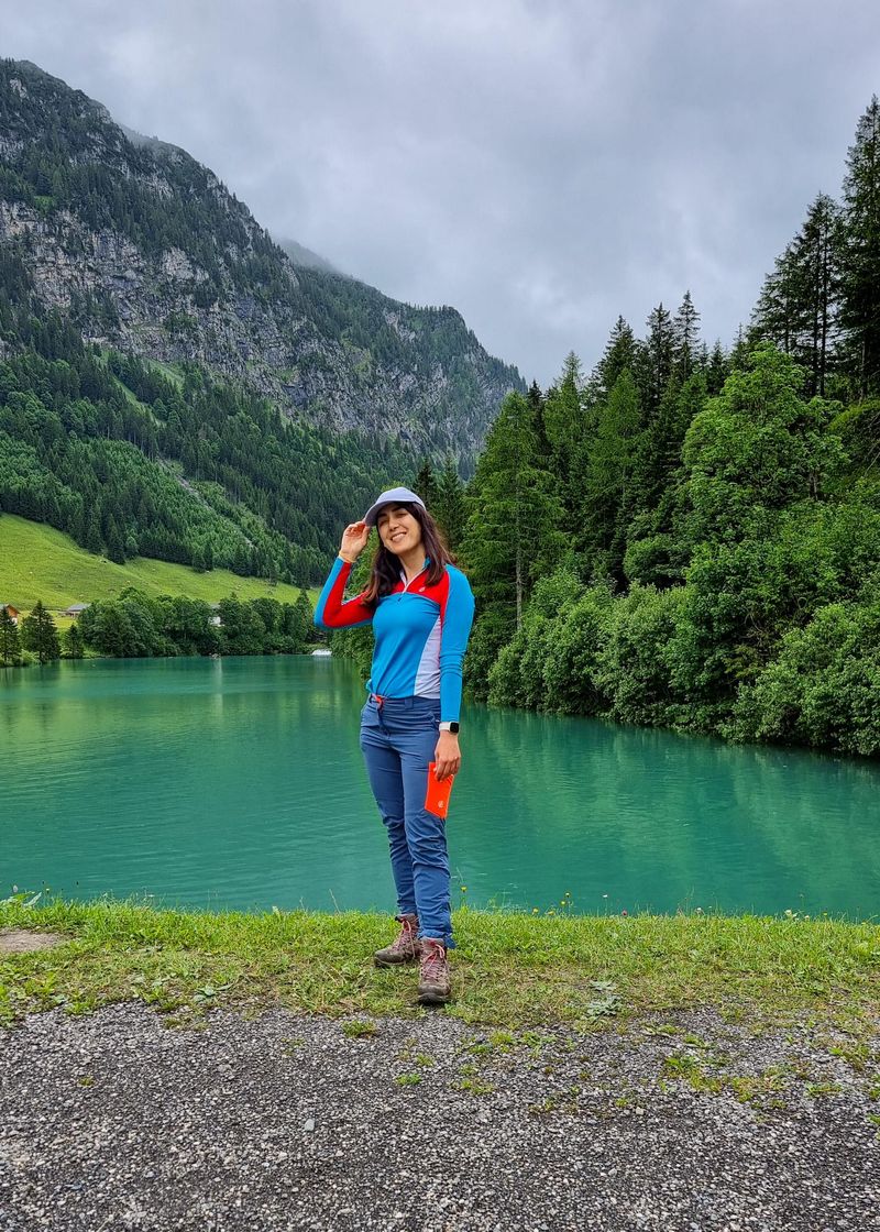
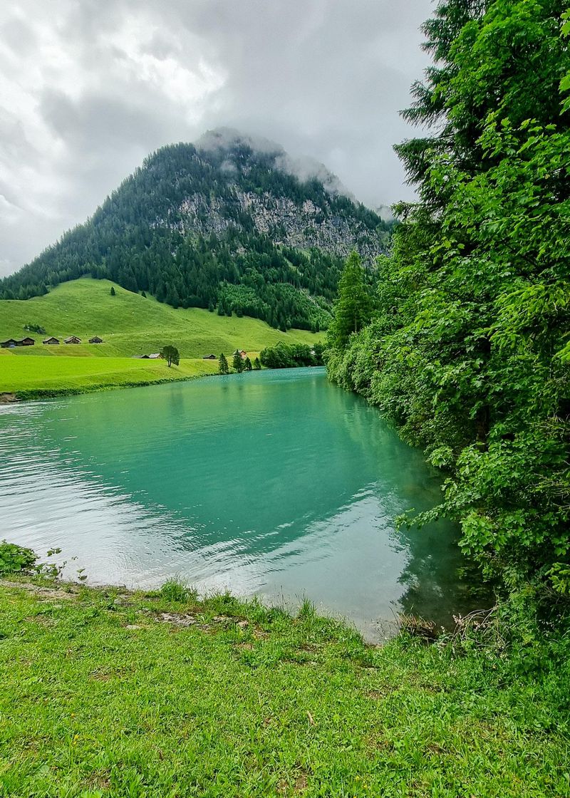
It rained heavily during the night, and more rain was forecast for the following day.
For this stage of the Liechtenstein Panorama Trail, there are different route options. The higher Route 66 option climbs over Chrüppel, Wanghöhe and Goldlochspitz, with the option to make a short detour to the summit of Rappenstein.
This is the more dramatic route, with high ridges and bigger mountain views, but it is also considerably more demanding, with a lot of climbing. In wet or unstable weather, some of the exposed ridge sections can become slippery and unsafe.
There are also lower alternatives, including a route through the valley. They are less dramatic than walking along the high ridge, but they avoid some of the difficult exposed sections and are a much better choice when the weather is poor.
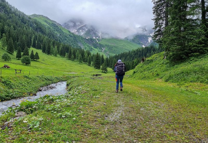
My original plan was to take the higher route, but after a night of heavy rain and with more rain forecast, I decided to take the lower option instead.
This was not the route I had planned at home, but it was the right decision for the conditions and also for how my body felt after the previous day's challenging hike.
The beginning of the hike was completely different from day two. I walked beside a stream with beautifully clear water, and the path was mostly gentle.
I could relax, stop for snacks and simply enjoy being in nature without worrying about the next difficult section. After the intensity of the previous day, I needed this.
One of the biggest surprises was finding Highland cows beside the trail. I had previously travelled to Scotland hoping to see them, so I did not expect to find them here in Liechtenstein.
Later, the path began climbing again and the rain returned.
There were sections where the trail was not immediately obvious. Whenever I became unsure, I looked for the white-red-white markings painted on rocks and posts. These markings are commonly used for mountain hiking trails in the Alps. Eventually, I saw Pfälzerhütte in the distance.
Although the day had still involved plenty of walking and climbing, it felt much more relaxing than day two.
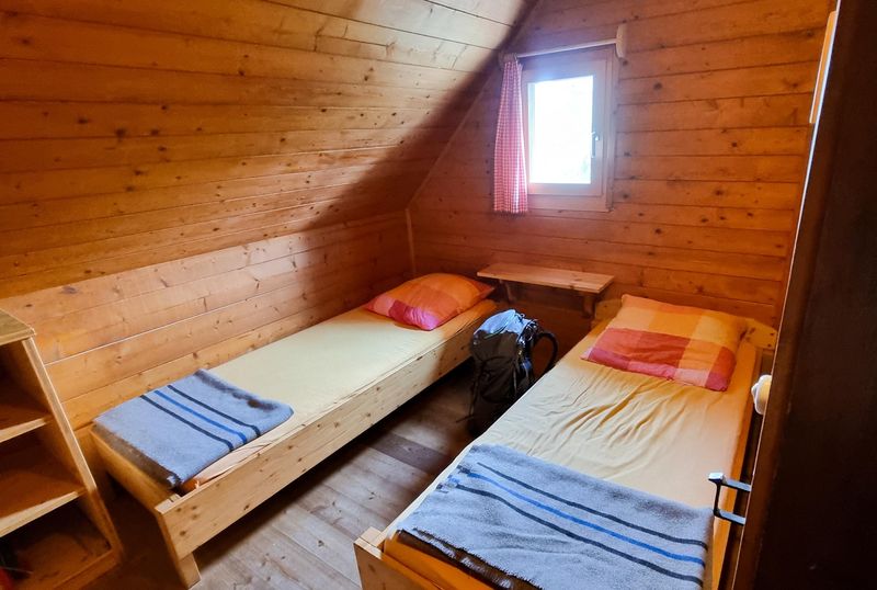
Changing the route did not make the hike less successful. In fact, I think it was one of the most sensible decisions I made during the trip.
Day 4: Pfälzerhütte to Malbun
Pfälzerhütte was my second mountain hut in Liechtenstein. The country has two Alpine Club huts, and during this hike, I stayed in both of them.
This time, I had a private room. It was quiet, nobody was snoring and I slept much better.
The host was also friendly and spent time talking to the guests. Everyone gathered in the main room, ate together and shared stories.
Meeting people in the huts became one of my favourite parts of the trip. Although I spent most of each day walking alone, the evenings did not feel lonely.
Pfälzerhütte stands at approximately 2,108 metres and normally operates from early or mid-June until around mid-October, depending on the weather.
For the 2026 season, its published prices list accommodation with half board from CHF 68 for members and CHF 75 for non-members, with supplements for smaller rooms. Prices and conditions can change, so check directly before booking.
Snow in July
I had planned to wake up early and hike to Naafkopf for sunrise, which is a common hike when you stay in Pfälzerhütte.
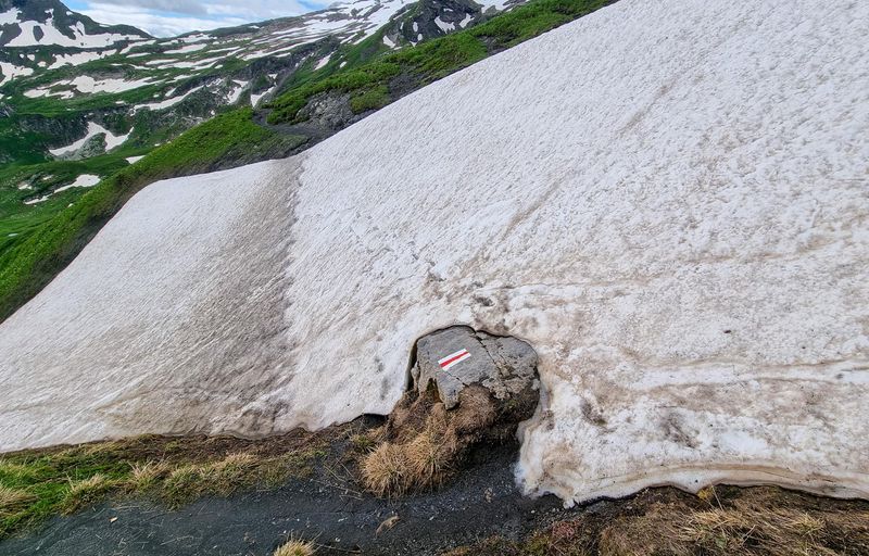
However, I was told that the route was not safe because there was still snow and it had been snowing throughout the night. So, I decided not to go.
Naafkopf is an optional side trip from Pfälzerhütte. The Alpine Club estimates the return walk from the hut at around two hours, but actual conditions matter more than the expected hiking time.
Even though it was July, sections of my route were still covered with snow. I walked around the snow where possible. In a few places, I had to cross it carefully, but I avoided sections that did not feel safe.
This is why you cannot assume that an Alpine path will be completely snow-free simply because you are hiking in summer.
The view towards Malbun
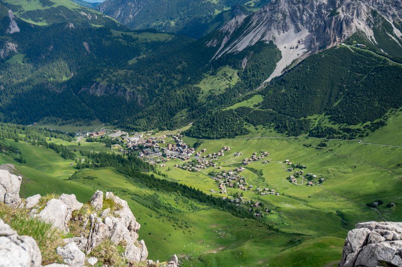
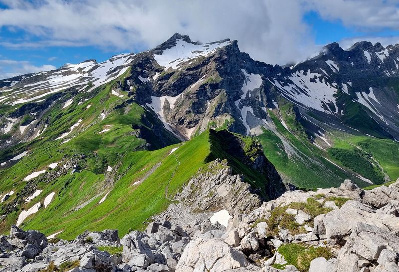
Eventually, I reached a high point at just over 2,000 metres and could see Malbun below me. For the first time, I did not want the hike to end.
During the previous four days, the fog had hidden many of the famous views. But from here, the landscape finally opened up.
Mountains surrounded me in every direction, and I could see why the trail is called the Liechtenstein Panorama Trail.
I had walked alone, climbed ladders, crossed narrow ridges and changed my plans when the weather became unsafe. I had also met interesting people in the huts and experienced something completely new.
When I finally reached Malbun, the bus to Vaduz was due to arrive in around ten minutes. I got on it and travelled directly back to Hotel Vaduzerhof.
After collecting my suitcase from the locker, I stayed in Vaduz for another night.
How difficult is the Liechtenstein Panorama Trail?
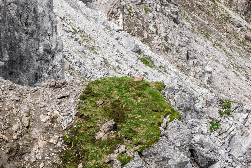
The complete Liechtenstein Panorama Trail is not a beginner-friendly walking holiday.
Some stages follow straightforward forest paths and mountain tracks. Other sections are exposed and require you to use fixed ropes, ladders and your hands. You need to be comfortable with heights, steep ascents and long descents.
The hardest part of my route was the Drei Schwestern section on day two. It required concentration, balance and confidence on exposed terrain.
I would recommend the complete high route only to hikers who:
Have previous mountain hiking experience.
Are comfortable with heights and exposed paths.
Can climb and descend for several hours while carrying a backpack.
Can follow trail markings and use an offline map.
Are prepared to turn back or change the route when conditions deteriorate.
There are lower alternatives that avoid some of the most difficult sections. Taking one is not a failure.
I used a lower route on day three because of rain and poor weather. It allowed me to continue the hike without taking unnecessary risks.
Can you hike Route 66 alone?
I completed the hike alone, but that does not mean it will be suitable for every solo hiker. There were several occasions when I walked for hours without seeing anybody. If I had fallen or become injured, help might not have arrived quickly.
Solo hikers should be more conservative when assessing weather and trail conditions.
Before setting off, share your itinerary with somebody and tell them where you plan to stay each night. Check in regularly and keep your phone somewhere you can reach it easily.
Download an offline map before starting. Mobile coverage should never be your only navigation plan.
You should also consider travel insurance that specifically covers hiking at the elevations you plan to reach. Some standard policies exclude hiking above a certain altitude or do not cover mountain rescue.
Always read the policy details carefully rather than assuming that all hiking activities are included.
What to pack for the Liechtenstein Panorama Trail
When you are hiking for several days, every extra item matters because you have to carry it on your back all day. Pack only what you genuinely need, but do not compromise on essential safety gear.
A comfortable hiking backpack is important, ideally with a waterproof cover or internal dry bag. I would also recommend a hydration bladder, which makes it much easier to drink regularly without stopping to take your bottle out.
Other essentials include broken-in hiking boots, waterproof layers, a warm mid-layer, hiking poles, a power bank, first-aid supplies and enough food and water for each stage.
I would also bring thin gloves for the ladders and cables. I did not have any, and the metal was extremely cold and uncomfortable.
For the full list, including what to pack for the mountain huts, clothing, food and safety essentials, you can download my multi-day hiking Packing List.
What to expect when staying in Liechtenstein’s mountain huts
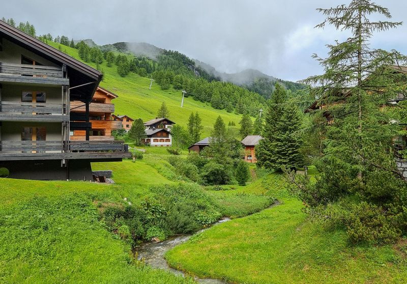
Mountain huts are one of the best parts of a multi-day hike, but the facilities can vary a lot depending on the location.
Gafadurahütte, where I stayed on the first night, had more facilities, including a shower. The accommodation was still simple, but it felt relatively comfortable for a mountain hut.
Pfälzerhütte, at a much higher altitude, was more basic. Because of the remote location and harsh mountain conditions, facilities are limited and even running water can sometimes be affected.
This is something to keep in mind when planning your hike. Do not expect hotel-style facilities, especially at the higher huts.
You will also need to bring a sleeping-bag liner for the huts, even though blankets and pillows are provided.
Dormitories are common, although private rooms may sometimes be available. I would also bring earplugs, particularly if you are sleeping in a shared room.
Most importantly, book your huts in advance and check the latest information directly with them before your trip, as facilities and conditions can change.
When is the best time to hike Route 66?
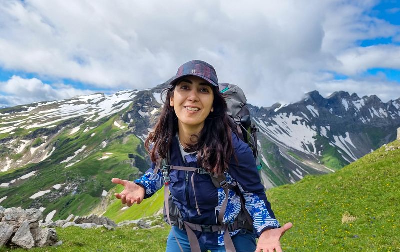
The general hiking season is from late June until September, with some routes and huts remaining accessible into October. However, the exact season changes every year.
Snow can remain on the higher trails well into summer. I encountered snow in July, and poor weather prevented me from completing one of my planned sunrise hikes.
Mountain huts also have limited opening periods. Pfälzerhütte generally opens around early to mid-June and closes around mid-October, depending on conditions.
Do not rely on a forecast you checked several days earlier. Mountain weather can change quickly.
Do you need a car in Liechtenstein?
No. I completed the entire trip using public transport.
The bus network connects Vaduz, Schaan, Planken, Steg and Malbun, making it possible to start and finish the hike without a car. Current timetables list Line 26 for Schaan–Planken and Line 21 for Vaduz–Malbun.
Having access to buses also gives you an escape route if you need to leave the trail because of bad weather, injury or tiredness.
Check the time of the last bus before beginning each stage. Services may be less frequent during evenings, weekends or seasonal timetable periods.
Can you wild camp on the Liechtenstein Panorama Trail?
No. Wild camping is illegal in Liechtenstein. I was also told this when I was there, so you need to plan your overnight accommodation before starting the Panorama Trail.
For this multi-day hike, the practical options are the mountain huts and hotels along or near the route. Because accommodation in the mountains is limited, I strongly recommend booking your huts and hotels in advance, especially during the summer and at weekends.
There are official campsites in Liechtenstein, but they are not located conveniently for following this hut-to-hut itinerary.
Is food available along the route?
The huts serve meals while they are open, but there are long sections of the trail where you cannot buy food. I carried snacks and enough food to get through each day.
Depending on your booking, dinner and breakfast may be included at the huts. You may also be able to request a packed lunch, but arrange this in advance.
Always carry emergency snacks, even when you expect to eat at the next hut.
Is the Liechtenstein Panorama Trail worth it?
For me, absolutely. It is one of the most beautiful multi-day hikes I have done in Europe, and if you are comfortable with mountain hiking, I would definitely recommend doing it.
The weather was not perfect. Fog hid many of the views, rain forced me to change my route, and snow stopped me from doing the sunrise hike I had planned.
But those changes became part of the experience.
This was my first multi-day hike and my first time hiking alone. I had to make decisions without relying on somebody else. I learned when to continue, when to slow down and when to change the plan.
I also learned that being alone in the mountains did not have to feel lonely.
During the day, I enjoyed the silence. In the evening, I met people in the huts and shared stories over dinner.
The Liechtenstein Panorama Trail allowed me to see almost an entire country from above, but the part I remember most is how much more confident I felt at the end.
If you enjoy mountain scenery, quiet trails and a bit of a challenge, this is a hike I would put very high on your list.